
Introduction
As cities swell and climate threats mount, building cleaner, smarter transport systems is no longer optional it’s urgent. With transportation accounting for nearly a quarter of global CO₂ emissions, urban planners must rethink how people move. One underutilized yet transformative solution lies in geographic methods: tools that allow us to see, analyze, and optimize transport networks in entirely new ways.
These methods involve the analysis of spatial data, maps, and geographic patterns to guide the development of smart, green transport systems. From Geographic Information Systems (GIS) to remote sensing and accessibility mapping, geographic tools are transforming how we plan and expand sustainable mobility options.
What Are Geographic Methods in Urban Planning?
Geographic methods refer to tools and techniques that analyze spatial relationships and geographic data. They help planners understand how people move, where demand is highest, and how infrastructure should be distributed for maximum impact. Common geographic tools include:
- GIS (Geographic Information Systems)
- Remote sensing (via satellites and drones)
- Spatial modeling and simulations
- Mapping and cartographic analysis
- Location-based analytics
When applied to transport planning, these methods offer insights that make development more efficient, environmentally sound, and socially equitable.
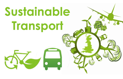
Why Eco-Friendly Transport Infrastructure Matters
Traditional transportation systems are one of the largest contributors to greenhouse gas emissions, accounting for nearly 25% of global CO₂ output. Moreover, many cities face challenges such as traffic congestion, air pollution, and lack of accessibility for vulnerable populations.
By investing in eco-friendly transport systems, including electric public transit, pedestrian pathways, cycling lanes, and shared mobility services, cities can:
- Reduce their carbon footprints
- Improve air quality
- Support public health
- Enhance urban mobility
- Promote transport equity
However, making these transitions requires careful planning, and that’s where geographic methods shine.
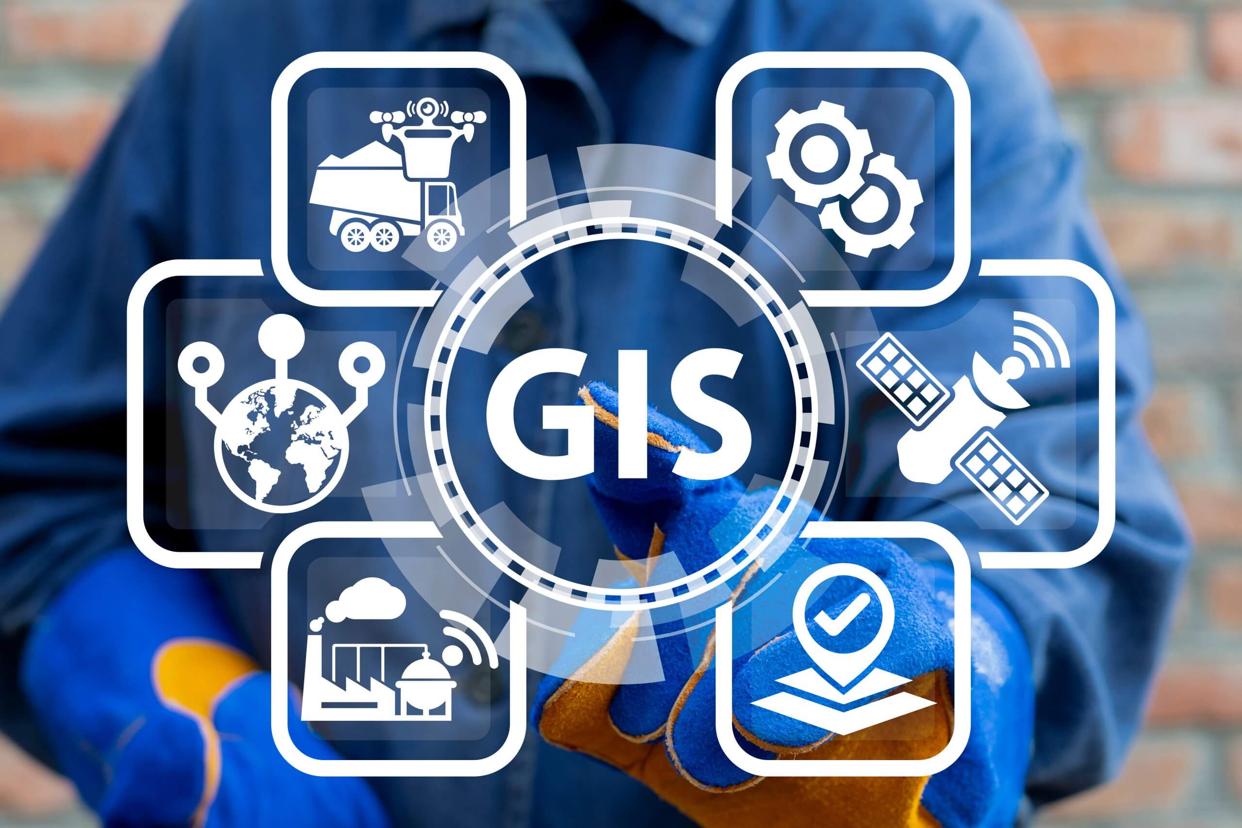
GIS: A Cornerstone of Sustainable Mobility
GIS stands as a cornerstone of modern transport planning. By integrating diverse data layers—such as population density, land use, and existing transit routes—into a single digital platform, GIS allows planners to visualize gaps, test interventions, and make data-driven decisions that reduce emissions and increase access.
This helps answer key questions:
- Where are the most underserved areas?
- Which neighborhoods lack access to public transit?
- Where should new EV charging stations be installed?
- How can we optimize bus or rail routes for better coverage?
With GIS, decision-making becomes more data-driven, reducing wasteful spending and ensuring that infrastructure benefits more people while protecting the environment.
Remote Sensing and Environmental Monitoring
Remote sensing uses satellites and drones to track urban activity and environmental conditions in real time. In transport planning, it helps monitor:
- Traffic congestion
- Land use changes
- Green space availability
- Air quality levels
- Urban sprawl
For example, a city can use satellite data to identify areas with poor air quality and prioritize those zones for low-emission corridors or expanded pedestrian paths. Over time, remote sensing also helps track the impact of new infrastructure, ensuring it meets environmental goals.
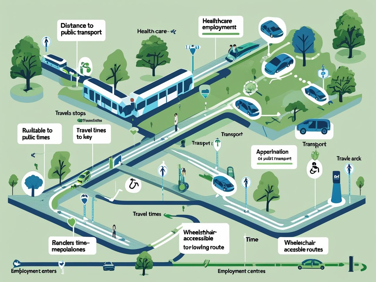
Mapping Accessibility and Transport Equity
A truly eco-friendly transport system is not only green but also inclusive. Accessibility mapping uses geographic tools to analyze how easily different communities can access public transportation.
Important factors include:
- Distance to nearest bus or train stop
- Travel time to employment or healthcare centers
- Availability of wheelchair-accessible routes
- Barriers for the elderly or low-income populations
These maps help identify “transit deserts”, areas where people have poor access to sustainable transportation and guide investment to bridge those gaps.
Spatial Modelling for Future-Proof Planning
Spatial modeling allows cities to simulate various scenarios and predict the impact of proposed changes. Using these models, urban planners can:
- Forecast the effect of new transport lines
- Predict traffic flow patterns
- Simulate population growth and future demand
- Evaluate the benefits of car-free city zones
This type of planning is essential for future-proofing cities, ensuring that investments today won’t become obsolete tomorrow.
Encouraging Walking and Cycling Through Geographic Data
Active transport, such as walking and cycling, is one of the most sustainable mobility options available. However, these modes are often overlooked in transport planning. Geographic methods can help promote active transport by:
- Mapping out safe and direct walking paths
- Designing interconnected bike lanes
- Identifying accident-prone intersections that need redesign
- Analyzing terrain to assess bike route feasibility
By creating safer and more attractive options for pedestrians and cyclists, cities can reduce reliance on cars and lower emissions.
Smart Technology and Real-Time Geographic Data
The rise of smart mobility systems is also powered by geographic methods. Cities are now using real-time location data from apps, sensors, and GPS to:
- Optimize traffic signals
- Track public transport in real time
- Monitor ride-share usage
- Manage electric vehicle fleets
When this data is integrated with GIS and other mapping tools, it provides a powerful system for managing transport systems more sustainably and efficiently.
Conclusion: Mapping a Greener Future
Geographic methods offer a powerful foundation for eco-friendly transport planning. By leveraging tools like GIS, remote sensing, and spatial modeling, cities can make smarter decisions about where and how to build green infrastructure. These tools help ensure that transport systems are not only environmentally responsible but also equitable, efficient, and future-ready.
In the face of climate change, resource scarcity, and urbanization, the ability to analyze and act on geographic data will define which cities thrive and which fall behind. The blueprint for sustainable mobility already exists in our maps, models, and data. What remains is the will to act on it. With geographic methods leading the way, cities can transform not just how we move—but how we live.
We encourage readers and professionals interested in urban and rural resilience to participate in the upcoming conference: Geographic Perspectives on Climate Change Mitigation in Urban and Rural Environments – 2nd Edition.
Scheduled for 25–27 November 2025. This event will bring together experts from geography, urban planning, and environmental science to discuss sustainable solutions, disaster risk reduction, and climate-smart urban design, crucial topics in a rapidly changing world.
Let’s design cities where moving forward means moving green.