
Climate change is reshaping the way we live, work, and interact with our environment. To address its challenges, geographic tools such as Geographic Information Systems (GIS), remote sensing, and geospatial modeling are playing an increasingly vital role. These tools help scientists, policymakers, and communities understand the impacts of climate change, predict future risks, and design effective adaptation strategies.
1- Why Geographic Tools Matter in Climate Action
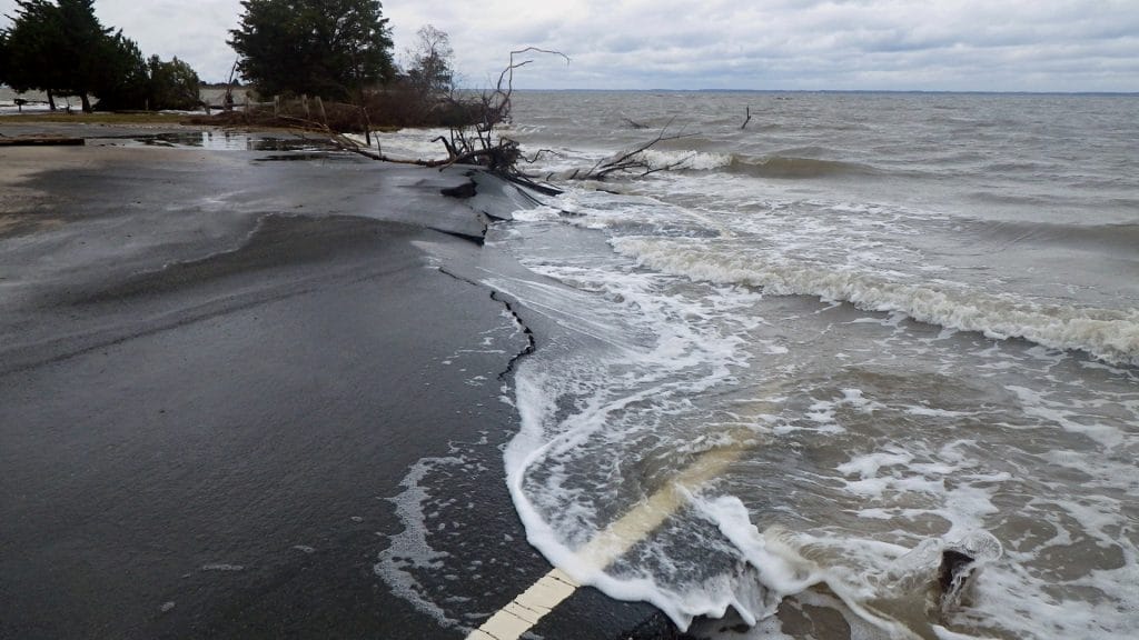
Geography provides the spatial perspective needed to analyze climate challenges. Rising sea levels, droughts, and shifting rainfall patterns all have geographic dimensions. Geographic tools make it possible to:
- Map climate impacts at global, regional, and local levels.
- Forecast extreme weather events and identify risk zones.
- Support policy decisions with evidence-based data.
By integrating data from satellites, sensors, and models, these tools transform raw information into actionable insights for climate solutions.
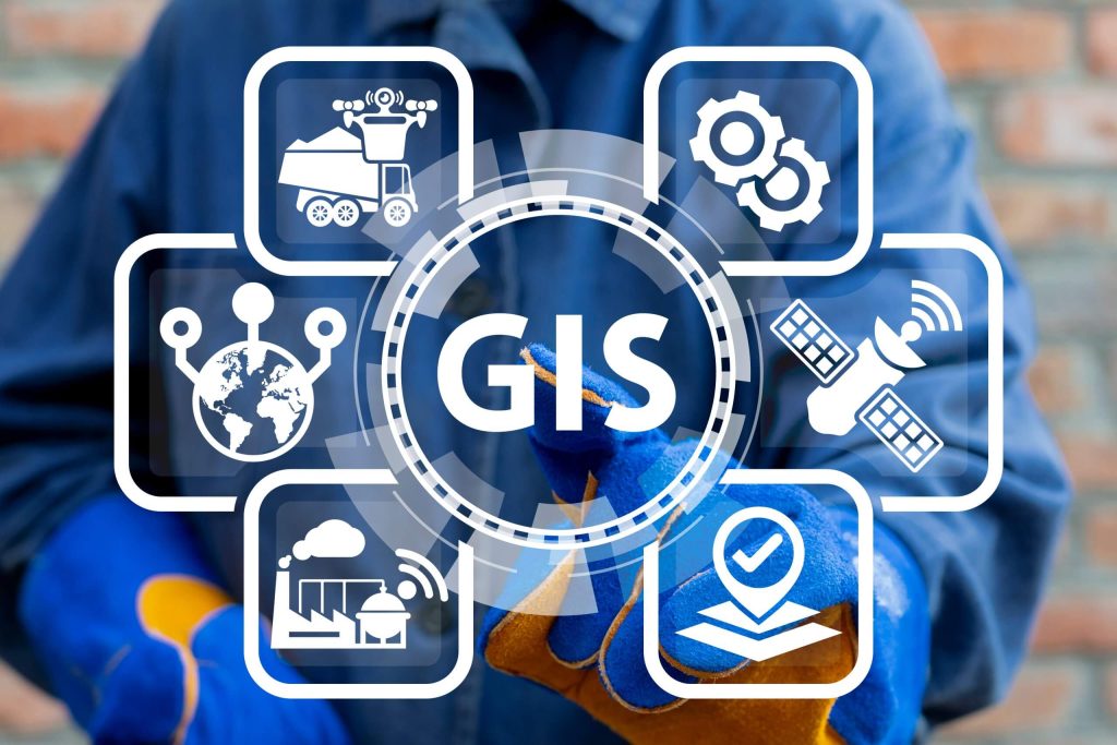
2- Geographic Information Systems (GIS)
GIS is one of the most powerful tools for climate research and planning. It allows users to visualize and analyze layers of data, such as temperature, land cover, and population density. In climate solutions, GIS is widely applied to:
- Map flood risk zones and prepare disaster response plans.
- Track deforestation and land degradation over time.
- Support urban planning by designing green spaces to reduce heat islands.
- Identify vulnerable populations and design targeted adaptation strategies.
GIS not only highlights where problems exist but also helps plan sustainable interventions.
3- Remote Sensing for Climate Monitoring
Remote sensing collects data from satellites, drones, and aircraft to monitor Earth’s surface. These technologies provide real-time and high-resolution imagery essential for climate monitoring. Key applications include:
- Measuring glacier retreat and ice sheet melting.
- Tracking vegetation loss and desertification.
- Monitoring ocean temperatures and coral reef health.
- Assessing air quality and greenhouse gas emissions.
Remote sensing makes it possible to observe large-scale environmental changes that are difficult to measure on the ground.
4- Advances in Climate Modeling
Modern climate models increasingly rely on geographic data to provide precise predictions. They help simulate future conditions and assess risks, such as:
- Forecasting regional drought patterns.
- Predicting sea-level rise for coastal cities.
- Modeling flood-prone zones using hydrological data.
- Estimating migration patterns caused by climate displacement.
These models are essential for creating long-term climate strategies.
5- AI and Machine Learning in Geographic Tools
Recent advances in artificial intelligence (AI) and machine learning (ML) have enhanced geographic tools. By processing massive datasets, AI improves the speed and accuracy of climate analysis. Applications include:
- AI-based wildfire prediction using vegetation and weather data.
- Automated land-use mapping from satellite images.
- Predictive analytics for agriculture, helping farmers adapt to climate shifts.
- Climate risk modeling for urban planning and insurance.
AI adds a new dimension of precision and adaptability to climate solutions.
6- Challenges and Opportunities
While geographic tools offer powerful solutions, challenges remain. High costs, limited access to technology, and lack of expertise can hinder adoption, especially in developing countries. Data privacy and integration across systems are also ongoing concerns.
However, with increasing open-source platforms, satellite data availability, and community-based mapping, these tools are becoming more accessible. The future lies in combining GIS, remote sensing, AI, and citizen science for inclusive climate resilience.
Conclusion
Geographic tools are essential for addressing climate change. From mapping vulnerable areas and predicting future risks to supporting renewable energy planning and disaster preparedness, they provide the foundation for informed decision-making. Advances in GIS, remote sensing, AI, and climate modeling are making it possible to design smarter, more sustainable strategies.
As climate challenges grow more urgent, geographic tools will remain at the center of global climate solutions, enabling societies to adapt, mitigate risks, and build a more resilient future.
Eventually the 2nd Edition of The Geographic Perspectives on Climate Change Mitigation in Urban and Rural Environments conference is officially scheduled to take place from November 25–27, 2025, in Rome, Italy at Sapienza University. This conference presents a valuable opportunity for researchers to showcase their work and publish their research papers in the field of climate change mitigation and sustainable development.