
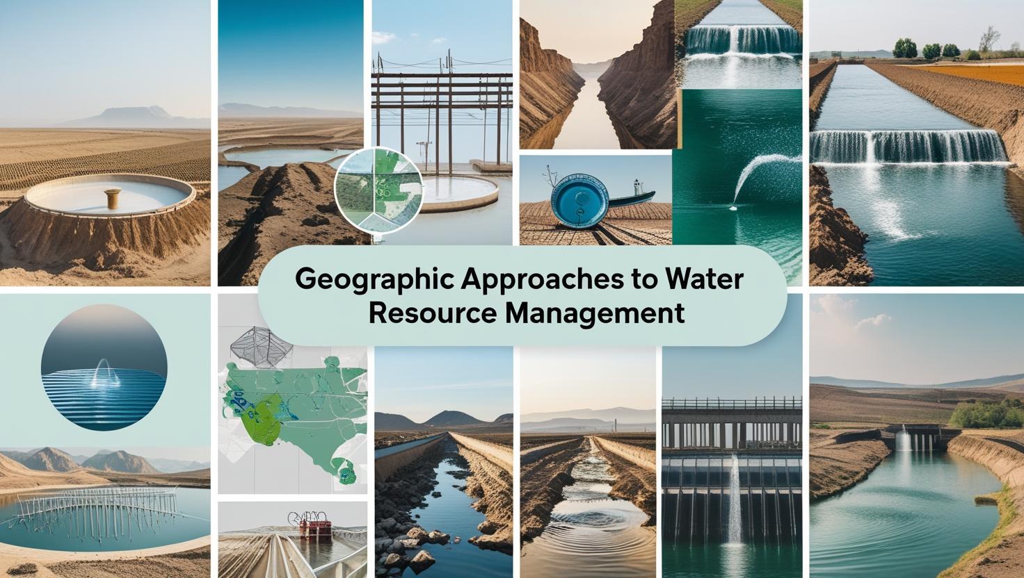
Introduction
Water is essential for life, but managing it sustainably is becoming increasingly complex. Climate change, urban expansion, agriculture, and shifting demand patterns are putting water systems under stress worldwide. Geographic tools—from mapping to modeling—offer powerful solutions. By integrating local knowledge with spatial data, geography helps us manage water more equitably, efficiently, and adaptively.
Whether it’s using maps to understand where water flows, satellite data to monitor droughts, or community input to identify local water issues, geography plays a central role in managing water sustainably. This article breaks down how geographic approaches are making water management smarter, more efficient, and more equitable, backed by real-world examples from around the globe.
-
What Does Geography Have to Do with Water?
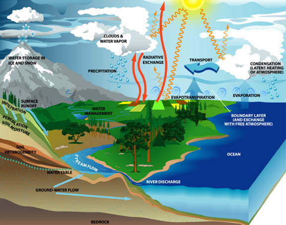
Geography and Geographic Tools helps us understand where water originates, how it moves, and how people interact with it across landscapes. This insight supports better planning, helping to answer questions such as:
• Why do certain areas flood while others remain dry?
• How do land use patterns affect water quality and availability?
• Where should infrastructure be placed to serve growing populations sustainably?
By using geographic knowledge, we can manage water based on natural systems like rivers, basins, and underground aquifers rather than just political borders.
-
Managing Water by Watersheds
A watershed is a natural drainage area where all water flows to the same outlet, like a river or lake. Planning around watersheds helps decision-makers:
- Understand the impact of what happens upstream on downstream communities
- Manage land, forests, and water as one system
- Coordinate efforts across local, regional, and national levels
In short, managing by watershed keeps the focus on the natural movement of water, not just man-made divisions.
-
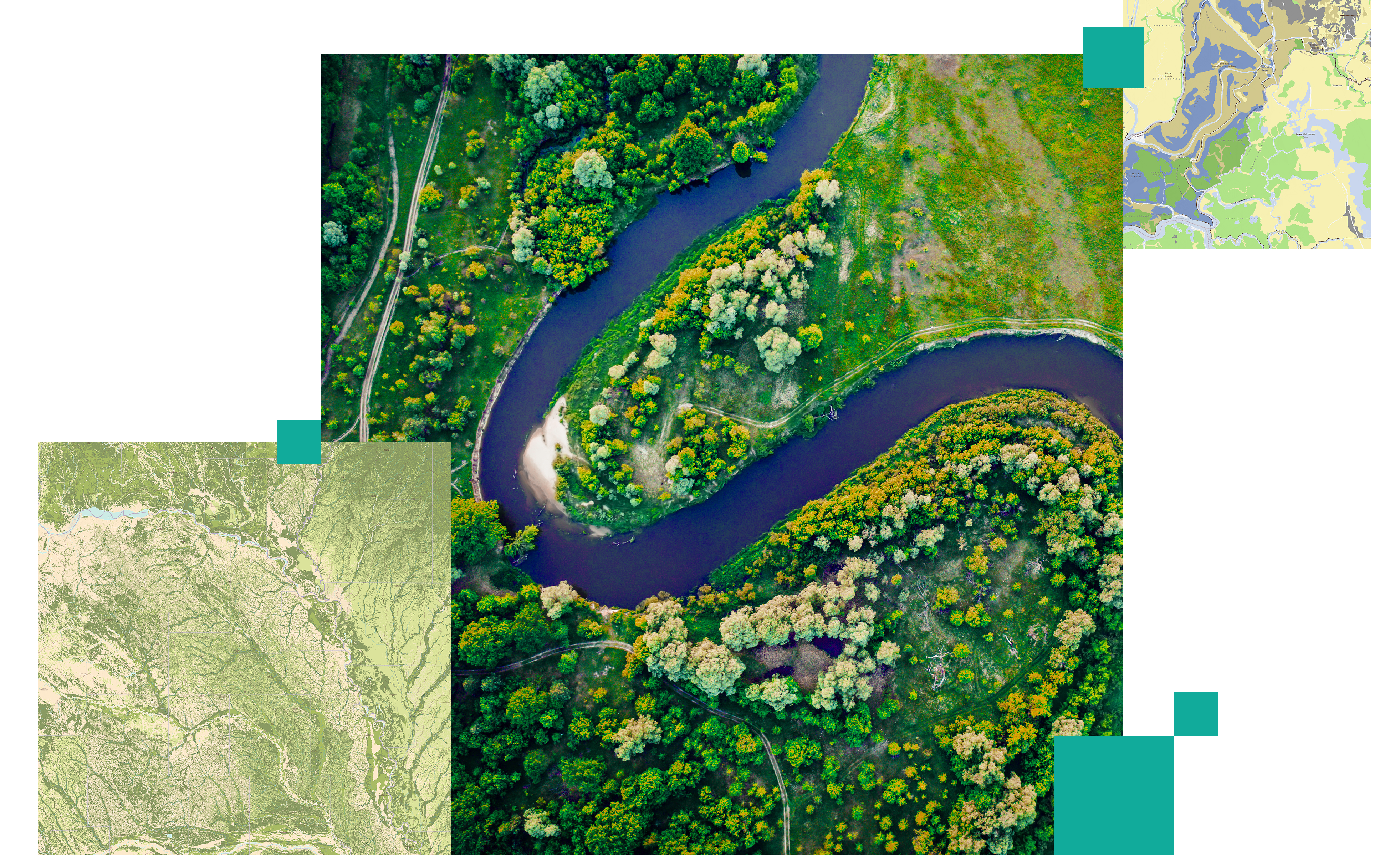
Mapping Water with GIS
One of the most powerful tools in geographic water management is GIS (Geographic Information Systems). GIS lets experts visualize, track, and analyze water-related data across large areas. With GIS, water managers can:
- Map rivers, pipelines, and flood zones
- Track pollution sources and water usage
- Predict where droughts or floods might occur
- Design smarter water supply systems
By seeing all this information on a map, it’s easier to make clear, confident decisions.
-
Using Satellites and Drones to Monitor Water
Modern technology lets us monitor water systems from above. Satellites and drones provide detailed images and data about:
- River levels and rainfall
- Changes in glaciers or snowpack
- Drought conditions and crop water use
- Wetlands and protected areas
This kind of remote monitoring is especially useful in places where on-the-ground data is hard to collect. It also helps officials spot problems early and respond more quickly.
-
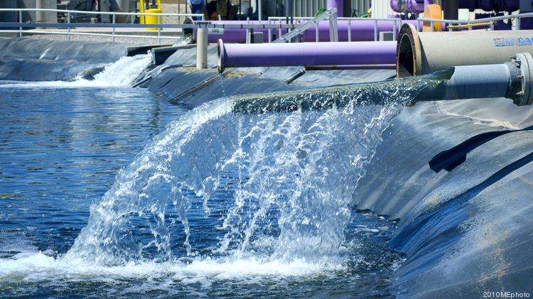
Managing Water in Cities
Urban areas have unique water challenges. Cities need to deal with drinking water supply, wastewater treatment, flood control, and stormwater runoff, all while expanding. Geographic data helps cities:
- Find areas with high flood risk
- Improve drainage systems and green infrastructure
- Monitor leaks and fix aging pipes
- Plan smarter zoning for future growth
In cities, geography makes sure water systems grow in the right way—and don’t overwhelm the environment.
-
Involving Local Communities in Water Planning
People who live near rivers, springs, or wells often have deep knowledge of their local water systems. That’s why involving them in community-based mapping is so effective. This kind of mapping helps:
- Identify small water sources like springs or tanks
- Highlight service gaps or pollution issues
- Support traditional water systems
- Create plans that reflect community needs
When local voices are included, plans become more inclusive and more likely to succeed.
-
Planning for Climate Change
Climate change is reshaping water availability everywhere. Some places are getting drier, others wetter, and the timing of rain and snow is shifting. Geographic models help forecast:
- Seasonal rainfall and runoff
- Flood-prone areas
- Drought risks
- Sea-level impacts on coastal water supplies
By planning based on this data, we can design systems that are more resilient to future conditions.
-
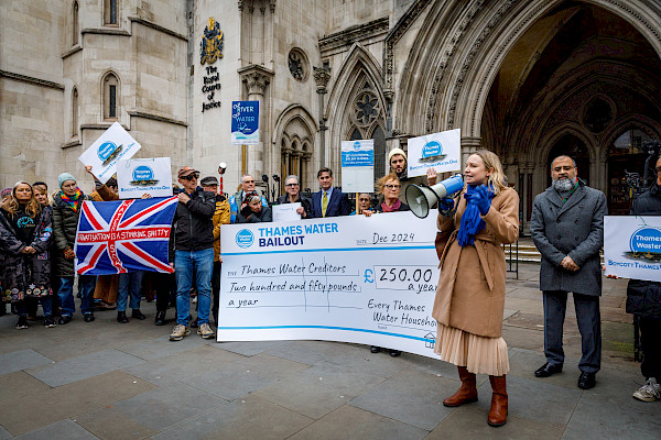
The Thames Water Legal Case: A Real-World Geography Debate
In June 2025, the UK saw a major debate over the role of geography in water planning. Thames Water, a major utility, proposed building a £2.2 billion reservoir in Abingdon, Oxfordshire, to store water for future demand. But not everyone agreed with the idea.
Campaigners took the plan to the High Court, arguing that:
- It would damage local ecosystems
- Thames Water should focus on reducing leaks, recycling water, and cleaning up rivers
- The plan ignored smaller, more efficient, and environmentally friendly alternatives
This case highlights a critical question for sustainable water planning: Should we prioritize large-scale infrastructure, or adopt decentralized, geography-informed solutions that align with local ecosystems and community needs?
-
Real-World Success Stories
- India: In Rajasthan, communities used GIS and traditional knowledge to restore hundreds of old water tanks, boosting groundwater levels.
- New Orleans, USA: After Hurricane Katrina, improved flood maps helped rebuild levees and prevent future disasters.
- Kenya: Satellite data now helps predict droughts and guide relief efforts.
- Australia: The Murray-Darling Basin uses geographic modeling to balance water use among farmers, towns, and the environment.
Each of these examples shows that smart water management depends on good geographic understanding.
Conclusion: Water Solutions Begin with a Map
Sustainable water management starts with spatial understanding. Whether it’s mapping aquifers, tracking rainfall, or empowering communities through participatory mapping, geography offers the tools we need to manage water where it matters most—in real time, in real places, and with real people.
As water challenges intensify, the integration of spatial data, technology, and local knowledge will be essential. Fortunately, geographic approaches offer us both the lens to see clearly and the tools to act decisively.
We encourage readers and professionals interested in urban and rural resilience to participate in the upcoming conference: Geographic Perspectives on Climate Change Mitigation in Urban and Rural Environments – 2nd Edition.
Scheduled for 25–27 November 2025. This event will bring together experts from geography, urban planning, and environmental science to discuss sustainable solutions, disaster risk reduction, and climate-smart urban design, crucial topics in a rapidly changing world.